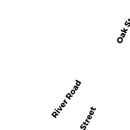
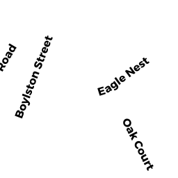
100 BOYLSTON ST
Owner Information
COTE JOSEPH L
100 BOYLSTON ST - APT# 5
CLINTON, MA 01510


Property Details
100 BOYLSTON ST is classified as a Mixed Use, Primarily Residential (Mixed ret/res).
The primary structure on this property was built in 1930. There are 6,246ft2 of built area within this property. There is 3,955ft2 of residential/living space within this property.
100 BOYLSTON ST is valued at $403,100. The land is valued at $87,600 and the structures are valued at $310,700. There is an additional valuation of $4,800 on this property.
This property is in Zone R1. Confirm with local Zoning Board authorities to ensure there are no overlays or other easements on this property.
The most recent deed for 100 BOYLSTON ST is recorded at the local registrar in Book 11711, Page 0149. 100 BOYLSTON ST was last sold on Thursday, October 27, 1988 for $200,000.
Assessment data from fiscal year 2022.
Flood Data
According to the FEMA National Flood Hazard Layer, this property does not appear to be in a flood zone. It may also be in an area not yet reviewed. Nonetheless, confirm this information prior to taking any action.
To view the flood hazards around this property, create a FEMA "Firmette" Map of the area around 100 BOYLSTON ST.
Broadband Internet Providers
| Provider | Type | Bandwidth (mbps) | |
|---|---|---|---|
| VSAT Systems, LLC. | Satellite | 2 | 1 |
| Viasat Inc | Satellite | 100 | 3 |
| Verizon New England Inc. | DSL | 10 | 1 |
| Comcast | Cable | 1000 | 35 |
| GCI Communication Corp. | Satellite | 0 | 0 |
| HughesNet | Satellite | 25 | 3 |
Broadband service provider data from December 2020.
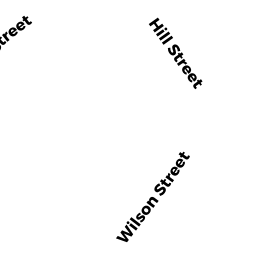
Adjacent Properties
- 92 BOYLSTON ST
Single Family Residential owned by CHAVES JASON R - 295 WILSON ST
Single Family Residential owned by ELLEN C BRODRICK IRREV TRUST OF 2016 - 289 WILSON ST
Single Family Residential owned by WETHERBEE PATRICK - 387 WILSON ST
Single Family Residential owned by GULLOTTI BRUCE M - OFF BOYLSTON ST
Vacant, Conservation (Municipal or County) owned by TOWN OF CLINTON